Marshall Islands is scaling up plans against rising seas
The local government of The Republic of Marshall Islands is working with scientists to fully understand how it will be affected by climate change. The research will highlight the best ways to protect the volcanic shores and communities from rising seas and more extreme weather events.
M ultiple hazards and sea level rise threaten the livelihoods of nearly 30,000 people living on the Majuro atoll, as well as its natural resources and local ecosystems. The government of the Marshall Islands has partnered with Deltares to carry out a multi-hazard risk assessment to evaluate current and future risks to the atoll, identify possible mitigation measures, and other related activities.
One of the smallest nations
The Republic of Marshall Islands (RMI) is one of the world’s smallest, most isolated, and vulnerable nations. RMI’s population is estimated at about 59,000, half of which lives in the capital city of Majuro. The size and remoteness of RMI increases the cost of economic activity and makes it unable to achieve economies of scale. The atoll is affected by several hazards, including flooding due to typhoons, swell waves, drought and extreme rainfall, and coastal erosion, all aggravated by the effect of sea level rise and climate change.
The Government of RMI has contracted Deltares to quantify current and future coastal hazards and risks and propose possible adaptation measures. The assignment is part of the World Bank PREP II program (Pacific Resilience Project Phase II), which will focus on strengthening early warning systems, climate resilient investments in shoreline protection, and immediate and effective disaster response. The study will be carried out in close cooperation with other regional organizations such as the Pacific Community (SPC), the Secretariat of the Pacific Regional Environment Programme (SPREP), and the United States Geological Survey (USGS).
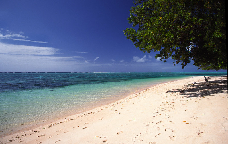
Climate change means the low-lying Marshall Islands must consider drastic measures to protect their coastline. Photo by Stefan Lins /Flickr
The locally-led research
The project will make use of state-of-the art numerical models and a multi-hazard risk assessment methodology to identify high risk locations and potential solutions. Conceptual designs and preliminary cost estimates will be developed for suitable adaptation measures. The project will include several presentations and trainings for local government and other relevant stakeholders in RMI, over the course of two years. Although the focus of the study will be the Majuro atoll, Deltares will also update a previous study for the island of Ebeye (Deltares, 2017) with new topographic measurements.
“This is an extremely important project, especially in the context of the development of the National Adaptation Plan (NAP) for RMI. The assessment of vulnerability to climate change and associated hazards and the identification of potential response are at the core of the NAP to support the resilience of the Marshall Islands and the Marshallese people to climate change and disasters.” says Kino Kabua, RMI Chief Secretary.
Deltares project leader Alessio Giardino: “It will be a unique opportunity to strengthen our collaboration with the RMI government and cooperate with other organizations, such as SPC, SPREP and USGS. I believe we have a fantastic team, involving local government and regional and international organizations, which is what is needed to develop the knowledge required to address these unprecedented challenges. I hope this project will be the start of a long-lasting cooperation which will contribute to creating a resilient future for the RMI people.”
The ideas presented in this article aim to inspire adaptation action – they are the views of the author and do not necessarily reflect those of the Global Center on Adaptation.
