This is how farmers in coastal zones can increase climate resilience through low-tech solutions
Bangladesh is one of many countries that faces recurrent and destructive natural hazards, but projects in the country’s coastal zones are starting to find solutions to the climate’s impact on agriculture. They could be applicable worldwide.
C
yclone Amphan hit the coast of Bangladesh in May, and was followed in July by the worst monsoon floods in a decade, which left one-third of the country under water. Clearly, there has been no lack of climatic disasters in Bangladesh in the past few months, and the COVID-19 pandemic constrains relief efforts.
For years, farmers in the coastal zone of Bangladesh have continually braced for a multitude of challenges: cyclones, storm surges, tidal fluctuations, salinity intrusion and land erosion. As climate change impacts intensify, these shocks reinforce each other in vicious circles and wreak havoc on the natural environment as well as on peoples’ lives, livelihoods and food security.
This year, two major development programs aimed at increasing the resilience of the coastal zone and its inhabitants are coming to an end (Coastal Embankment Improvement Project and Blue Gold program). As the Bangladeshi government and its international donor partners move into a planning phase, looking at what’s next for this perilous region, I venture to offer some research-based insights laid out in a recent publication by the CGIAR Research Program on Water, Land and Ecosystems (WLE).
In essence, we found that the solution lies in working with farmers, communities and local institutions to combine low-tech water management innovations, better coordination and new crop varieties.

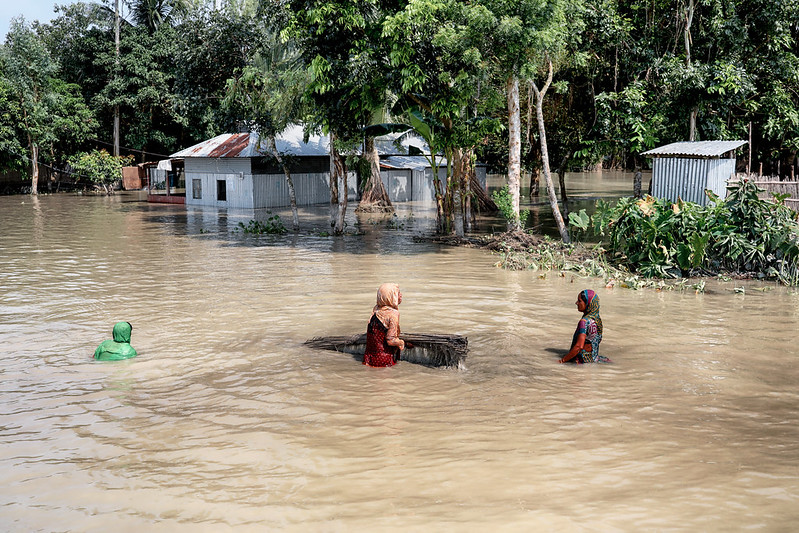
Bangladesh is prone to natural hazards which are increasing with climate change and affecting food systems. Photo by UN Women Asia and the Pacific on Flickr.
Improved drainage and crop diversification
In Bangladesh’s coastal zone, fields are stocked with water for rice cultivation during the wet (aman) season, but must be drained to allow farmers to grow other crops during the following dry (rabi) season. The stocking and draining of fields is managed through an intricate system of polders—that is, earthen embankments that enclose low-lying areas. But, in recent years, slow drainage, waterlogged soil and siltation has made this system less and less effective.
When the water drains too slowly, farmers are unable to cultivate a second crop, after the aman season rice crop has been harvested. If they do plant a second crop, they run the risk of it not maturing before the first heavy rains, and thus miss out on a harvest. This results in low cropping intensity and yields as well as in a higher rate of poverty and malnutrition than the national average.
In 2015 and 2016, a WLE research project set out to test whether new crop varieties, along with improved drainage facilities and better water governance, could solve these challenges. Implemented in the three villages of Fultola, Basurabad and Bhennabunia at what’s known as Katakhali sub-polder in Polder 30, the project built on the lessons learned from previous research.
Realizing that success required working at multiple levels, the scientists engaged with different actors. At the farm level, they worked with farmers to improve on-farm management of water through in-field drainage channels. They supported agricultural demonstration and extension services, which introduced farmers to new early-maturing, high-yielding rice varieties and alternative dry season crops, and they worked with water management groups to improve their operation of sluice gates and to clean old canals so that water flowed freely.
Finally, the project benefitted from coinciding with a Dutch-funded development program that helped build and rehabilitate polder embankments, canals and sluice gates and engaged with local government institutions.

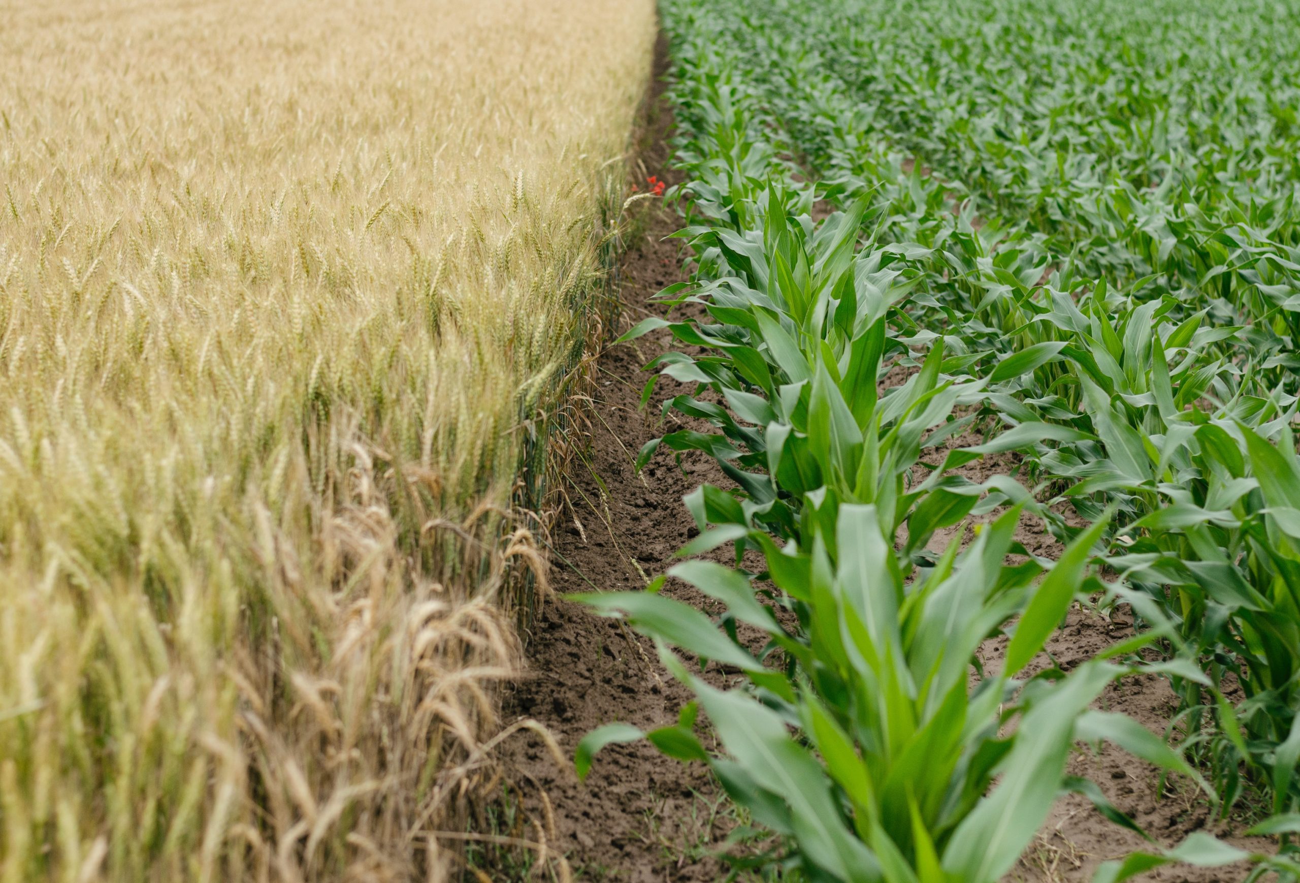
Increasing variety of crops and improving field drainage can help farmers with more consistent yields. Photo by Henry Be on Unsplash.
Encouraging results for food security and livelihoods
An assessment of the project’s results has recently been published, and it concludes that the Bangladeshi polders are a complex geophysical and institutional system. Improving the resilience of the farmers who live there will require careful coordination at several scales.
Looking back at the initial project intervention, the evaluation states that the participating farmers did face less waterlogging and did achieve improved drainage, allowing farm plots to be ready for a sunflower, maize or sesame crop earlier in the rabi season. This in turn meant that the rabi crops matured earlier and farmers could harvest them before the polders were flooded once again.
Based on these encouraging results, diversifying crops and improving drainage are emerging as strategies that could help reduce risks to the incomes and food security of Bangladeshi farmers living in the coastal zone.
Yet, more challenges need solving. Improved drainage hinges on establishing and maintaining in-field channels, but with widespread sharecropping it is not a given that individual farmers have the right to build new channels. What’s more, to benefit from in-field channels, farmers must agree on a crop and coordinate sowing and harvesting to avoid conflicts.
Relatedly, keeping up with the maintenance of canals that span over several villages is beyond farmers’ control. Lastly, the viability of new crops such as sunflower and maize hinges on developing local value chains and markets where such crops can be sold.
Scaling up through coordination
In sum, these remaining challenges underscore the need to coordinate initiatives at several scales and across different actors when aiming to reduce the vulnerability of Bangladesh’s coastal zone. Farmers must and can improve water management in their fields, but it is just as crucial that farmers, communities and water management organizations coordinate across villages. For governmental institutions, infrastructure maintenance must be coordinated, mandated and funded, but agricultural extension services are equally essential.
Ultimately, the promising results originating from the initial research project argue for not shying away from the complexity of the coastal zone. When different institutional and geophysical layers are carefully considered, coordinated efforts can leverage the strengths of the coastal zone and its particular characteristics, offering long-term livelihood opportunities for the region’s farmers.
The ideas presented in this article aim to inspire adaptation action – they are the views of the author and do not necessarily reflect those of the Global Center on Adaptation.